• Skip to primary navigation
  • Skip to main content
  • Skip to footer
Trailkeeper.org | Hiking in New York | Sullivan County Catskills

Trailkeeper.org | Hiking in New York | Sullivan County Catskills

Hiking information for the Catskill Mountains of Sullivan County New York

  • Trails
    • All Trails
    • SUNY Sullivan Trails
      • SUNY Sullivan: Woodland Trail
      • Suny Sullivan: Connector Trial
      • SUNY Sullivan: Athletics Trail
      • SUNY Sullivan: Farm and Garden Trail
      • SUNY Sullivan: Lightbulb Loop
      • SUNY Sullivan: College Road Walk
      • SUNY Sullivan: Solar Stroll Trail
    • Sullivan O & W Rail Trail
    • Easy Trails
    • County, State and National Parks
    • The Region
    • Suggest a New Trail
    • Be a Trailkeeper
  • Hiking 101
    • Reasons to Go Hiking
    • Hiking for Health
    • Hiking Safety Information
    • Hiking Etiquette
    • Hiking Levels
    • Choosing Hiking Gear
    • Guide to Public Lands
  • What’s Nearby
  • Calendar
  • Blog
Loading Events

« All Events

  • This event has passed.

TOPO TALK – The Language of Topographic Maps

September 30, 2017 @ 5:00 pm - 6:00 pm

  • « Beer, Bourbon and BBQ
  • Peter Florance & The New Kings »

Explore the world of topographic maps**.
They tell us a lot about the land around us.

HIKERS & ANGLERS!!
If you love reading a map with your fingers -particularly a topographic map – You’re invited!
This is going to be a relaxed gathering for map enthusiasts; beginners are welcome too.

BRING a favorite trail or fishing map with topo features you’d enjoy showing others – or just come as you are!

Light refreshments.
RSVP for this free program at the Catskill Mountains Lark in the Park site: https://www.catskillslark.org

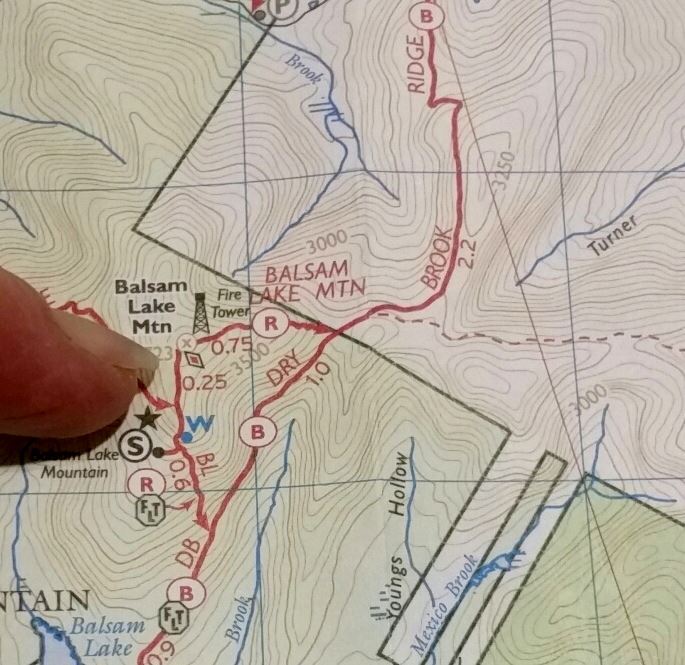
** A ‘topo’ map shows the shape of the Earth’s surface with contour lines. These lines make it possible to measure the height of mountains and steepness of slopes – great information for anyone planning a hike or a fishing outing.

Co-Sponsored by the Catskill Fly Fishing Center and Museum to compliment the “Catskill Rivers and Trails” exhibit at Morgan Outdoors through Oct. 9th.

MAP: taken from of the “Catskill Trails – set of 6 maps” published by the NY-NJ Trail Conference (and sold at Morgan Outdoors)

  • Google Calendar
  • iCalendar
  • Outlook 365
  • Outlook Live

Details

Date:
September 30, 2017
Time:
5:00 pm - 6:00 pm
  • « Beer, Bourbon and BBQ
  • Peter Florance & The New Kings »

Reader Interactions

Leave a Reply

Your email address will not be published. Required fields are marked *

Sign Up for Our Newsletter

  • This field is for validation purposes and should be left unchanged.

Footer

Partners

This project is assisted by a grant from the Upper Delaware Council, Narrowsburg, NY 12764. Additional funding from the Sullivan County Plans and Progress Grant Program.

Learn more about our partners

More Information

  • About Us
  • Partner Organizations
  • FAQs
  • Join a Hiking Club
  • Links
  • National Park Service
  • NY/NJ Trail Conference
  • Contact

© 2025 Copyright Catskill Trailkeeper. All rights reserved.    |    Website by B. Martin Studio